Landfall in Fiji

Author: Pete
Location: Navula Pass, Fiji

As night fell we sailed south of the island of Beqa and through the straits between the low Vatulele and the main island, Viti Levu. The wind swung from north directly behind us as we made the slow turn around the island and for the first time in what feels like ages we were on a starboard tack. You could hear the port shrouds sigh with relief. In the dark we dodged a fishing boat lit up like Las Vegas and an odd blinking tracking buoy of some kind.

As Tayrona pulled near the Navula Pass we had slacking winds and calming seas. There was no moon and full cloud cover, but the channel marker lights and range lights were clear and unmistakable. The channel is marked by a red light on the left, a green light on the right, and two red lights right in the center that line up when you’re in the middle of the channel. You just have to keep between green and red, and keep the range markers lined up. The radar picks up the shore and the channel marker buoys. It’s easy, just don’t screw up.
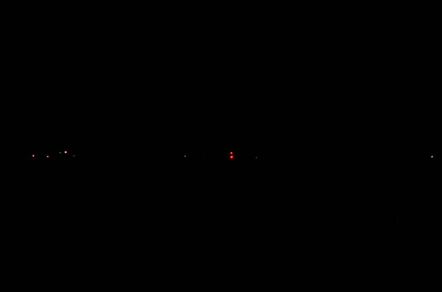
DSC_5386
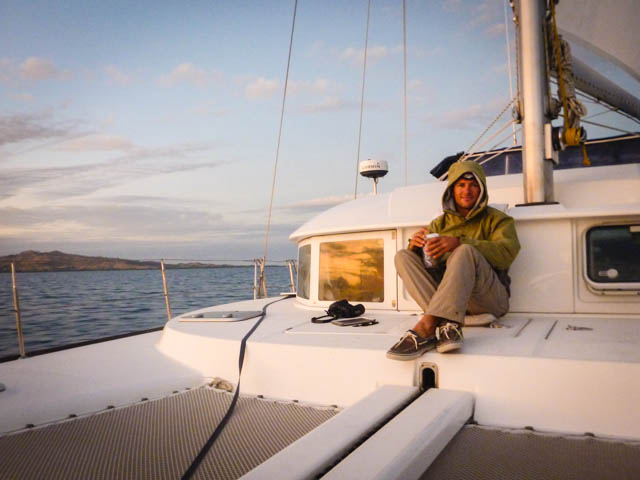
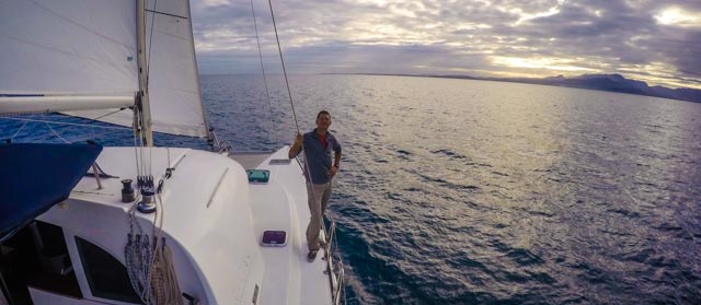
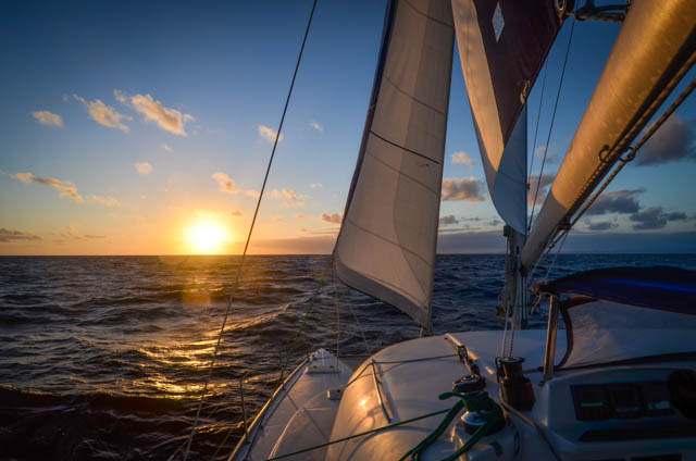
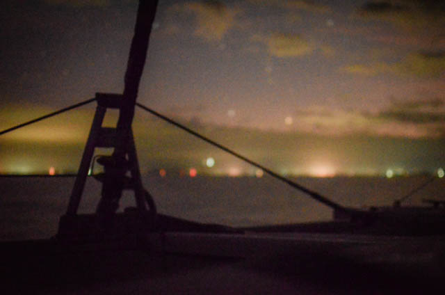
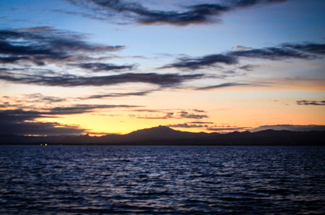
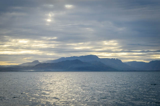
We were all hands on deck for the pass. The more eyes the better. Once we were through without event Miranda went off watch and I took us north along the coast towards Lautoka. The navigation lights were easy to follow even in the dark, but soon the black turned to purple then rose and orange. We were exhausted after four rowdy days at sea and some tense night maneuvers; the sunrise over the hills of Fiji were a welcomed sight. I sat on the deck with a mug of tea and watched it unfold. Yes, I was cold. Leave me alone.
DSC_5406

DSC_5420

P1150623

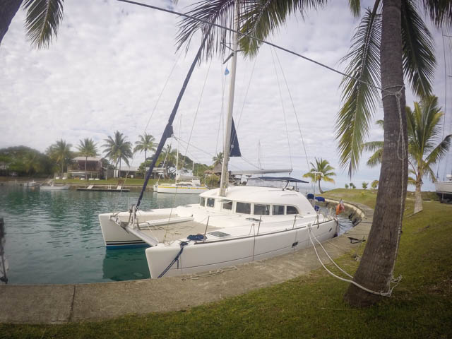
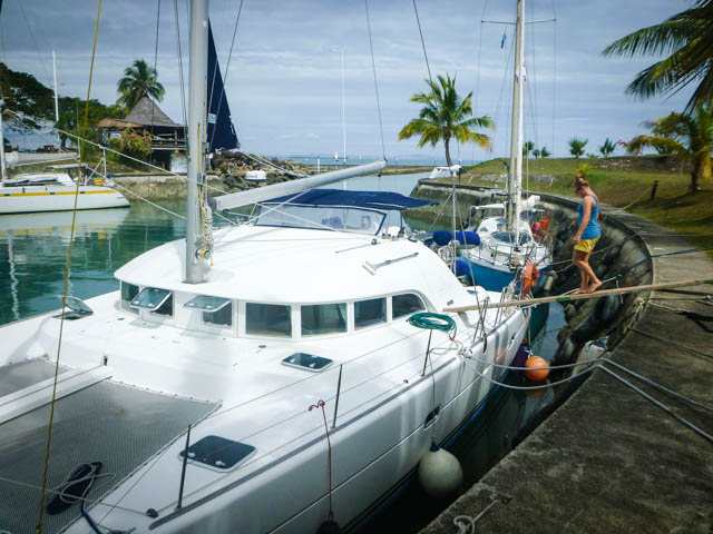
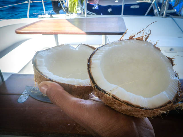
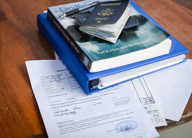
We anchored off Vuda Point in sixteen meters of water and waited a few hours for customs to come out to the boat. They confiscated four coconuts, telling me that Fijian coconuts were better anyway, but left all our other stores alone. Even the aloe plant got to stay. We tied up next to an inner concrete wall temporarily while they waited for a more permanent spot to open up.
DSC_5424

DSC_5429

GOPR2194
P1150639


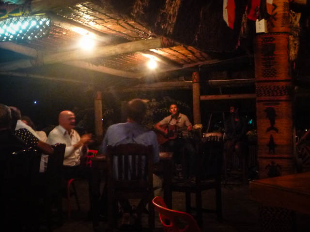
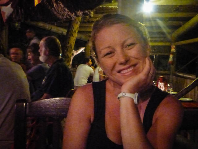
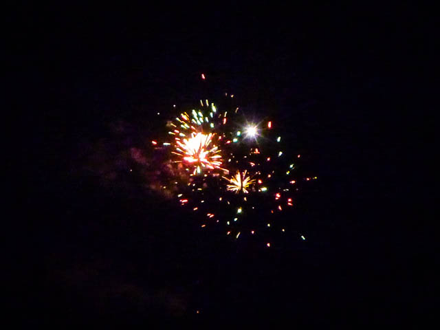
That night we went out to eat at the marina’s restaurant to celebrate. They must have heard because there were fireworks and music. Somehow Miranda suckered the musicians into letting me play a little too. “So glad we made it… Look how far we’ve come now baby…”
P1150634

P1150632

P1150635

Passage to Fiji: Day 4

Author: Pete
Location: 18°32.475S’ 178°34.237E’ EAST!

Day 4 at sea en route to Fiji.

Crossed the international dateline just after dusk last night. Tayrona is officially a time machine! I guess I’ve known that for a while. Time either flashes by in a blink, say when you’re sipping gin and tonics on the trampoline watching a sunset in a secluded anchorage, or it drags infinitely on, like when you’re sailing to Fiji. In nerd speak it’s called ‘time dilation’, but it’s definitely not because we’re moving at relativistic speeds. Now we’re as far east as you can get before you’re west!

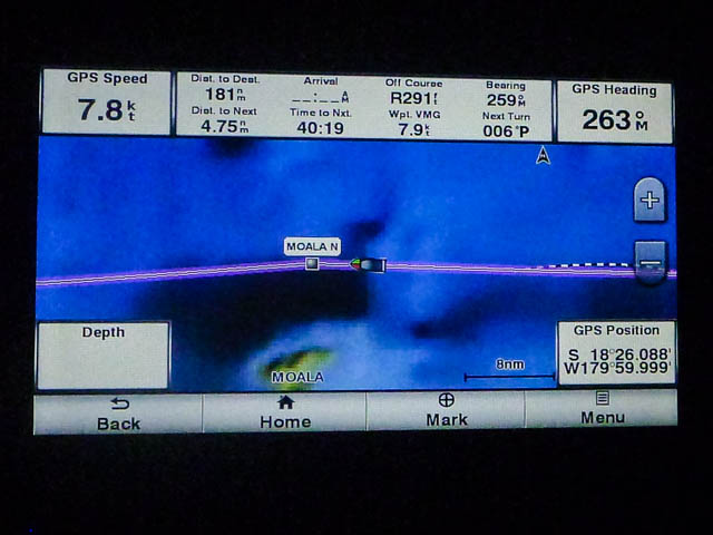
Our Garmin Blue charts break at the international dateline and you have to scroll to the other side of the world to see what comes next. So just before we crossed 180 degrees of longitude it look like we were going to sail off the edge of the earth. Here be monsters!

P1150616

Last night was also nice enough to reinstate the starlight dance party on deck. It’s been on hiatus due to the ugly weather on passage pretty much all the way from Bora Bora. What’s up with that? This is supposed to be the Coconut Milk Run! It was an exciting night; as we were rounding Great Astrolabe Reef to the north a boat showed up on radar and pulled past us on a near parallel course just two miles off our port. As soon as it cleared us another boat rounded the light and came almost directly at us, passing a mile off our starboard. They were easy to see with no danger of collision, but after 2000 miles without sighting a single craft “it was all very exiting” to have the AIS squawking and the radar lighting up surface contacts in the dark.

DSC_5307

DSC_5326

GOPR2148

It’s just in the last twelve hours we’ve started feeling human again. The first days on passage one feels like something akin to steamed polenta. Our four-hour shifts aren’t terrible, but it takes some time to get used to parceling your sleeping time. I’m on the 10AM-2PM, 6PM-10PM, and 2AM-6AM shift. Taking two out of the three dark shifts suits me. The boat goes through cycles of skipping smoothly over the waves like a kid on a bump-jumper, bubbles gurgling under the keels, punctuated by the wave-besieged shuffle of an army crawl. Our inner ears are winning the battle against the boat’s motion. We’re naturally bracing against anything available as we lurch around the boat without thinking about it. Miranda can read even in heavy seas pretty much the second day on passage. I take more warming up, hence all my sp#ll0ng er^gors.

GOPR2146

DSC_5352

Passage to Fiji: Day 3

Author: Pete
Location: 18°28.010S’ 179°05.262W’

Day 3 at sea en route to Fiji.

Last night was a fun game. At around two in the morning we entered Fijian waters marked by a string on low islands running north to south. We were cutting due west through the Oneata Pass, a four mile wide cut between Oneata Island and an unnamed, barely submerged reef. They’re both marked clearly on the charts, but because of our speedy first days we were disconcertingly making the pass in the middle of the night. As usual, it was dark, no moon, heavy cloud cover, and no navigational beacons. The wind was ripping twenty plus knots and we were making seven knots of headway. In our defense, the pass is plenty wide and thousands of feet deep, though it comes up abruptly right at the reefs on either side, so you wouldn’t know things were getting tight based on depth until you were in trouble.

DSC_5365

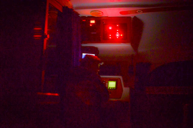
The wind and towing generators screaming, we had plenty of energy to keep the radar lighting up the darkness continuously for several hours as we made our run. I felt like a submarine captain in an old war movie. It was too dark to see anything out of the port windows so my only view of the outside world from my tin can were the glowing chart plotter and sweeping radar screen with its yellow blobs of certain reef death. Charts in this neck of the woods have been known to be off by up to a few miles, so I was constantly checking our theoretical distance from the island with what the radar was showing. I knew I should be drinking diesel fuel coffee and chain smoking unfiltered cigarettes in true sub-captain style, but chips and salsa were the nervous munching item of choice. Snacks made it feel sort of like watching your own bad movie as you’re filming it.

To make the scene more like Das Boot, the seas boomed against the hull, shaking us and making it sound down below deck like depth charges were going off left and right. To make things more authentic, the towing generator kept making that groaning of a metal hull creaking under immense pressure. The situation became dire when we got a call from the engine room that we’d burned through the last jar of salsa. To make matters worse, damage control reported that the rest of the chips had given out. Damn the Tostitos! Full speed ahead!

I got my start in such undersea endeavors building a submarine with my buddy Mike out of the Bentleys’ plastic barrel in the back yard and ‘testing’ it in the neighborhood pool before taking it out for lake trials and ultimately sinking in it. I’m still amazed that we survived any of that nonsense, but it sure came in handy out here tonight.

All fooling aside, we glided right between the two unfriendly, unseen masses, two miles from the Oneata reef and two from the unnamed reef south… I think. A sliver of moon peeked over the horizon just before dawn.   A few hours later, after Miranda had relieved me of my watch, the sun was up and beaming through blue skies.

GOPR2173

GOPR2181

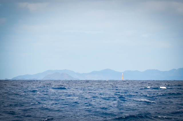
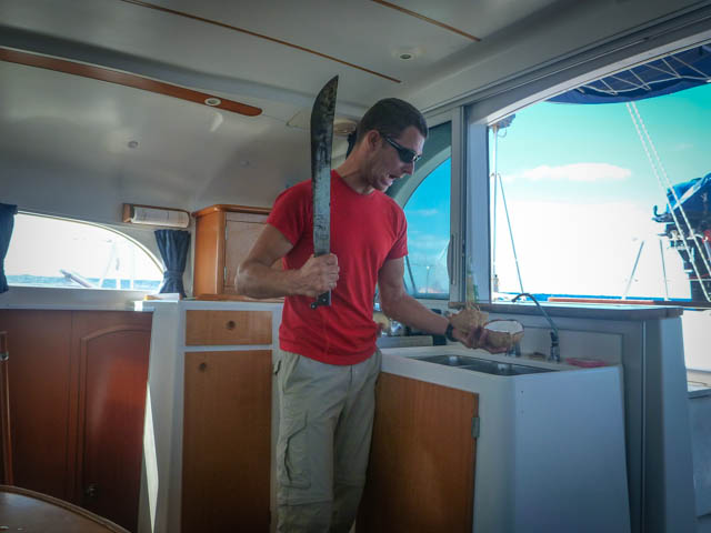
No further funny business during the day, just a lot of podcasts, opening coconuts on a rolling boat with a machete, and keeping an eye out for islands. The tricky buggers sneak up on you. More from Tayrona to come.

P1150599

P1150601