Passage to Marquesas: Day 22

Author: Pete
Location: 09°54.877S 136°26.683W
Date: 11:00 April 20 to 11:00 April 21


Day 22 at sea.

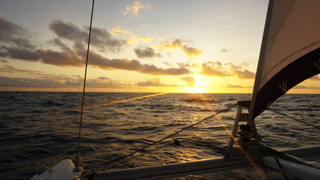
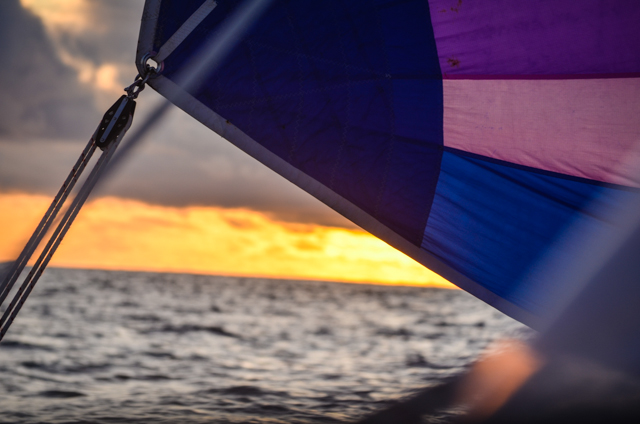
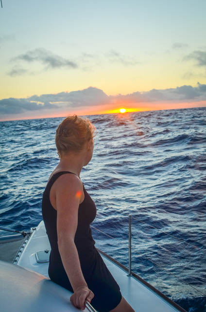
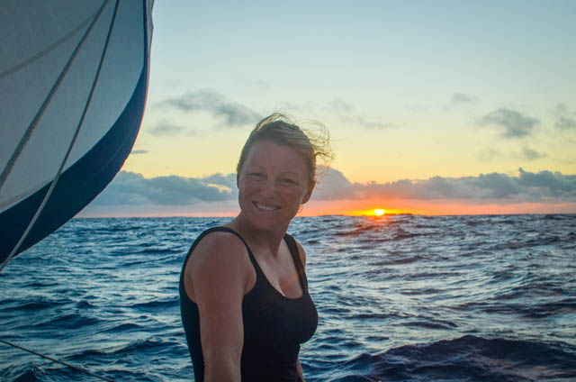
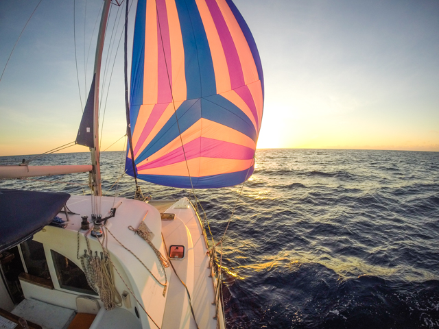
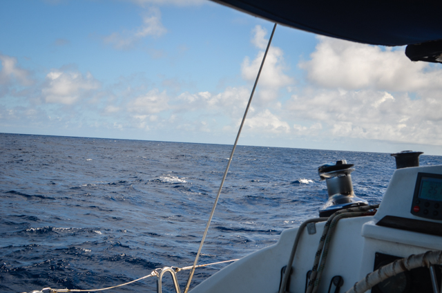
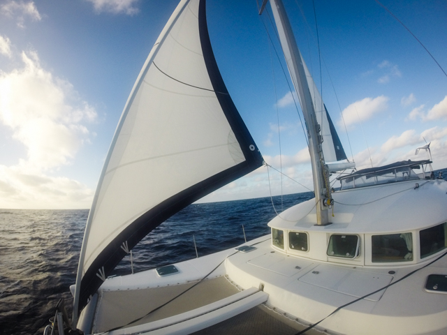
The wind has filled back in, leaving us zipping along at 6.5 knots under full canvas in 14 knots of wind on a beam reach. Long period rollers come muscling through from the aft port quarter. We get a good push from them. The boat vibrates and hums happily as she reaches hull speed. Or hullS speed as it were.

DSC_3145

DSC_3187

GOPR2104
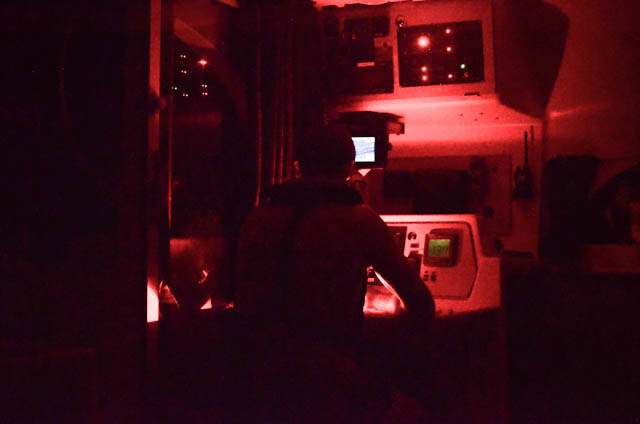
With our current weather outlook and estimated resulting speed we’re projecting making landfall Wednesday (4/22/15) in the morning. We have to bleed off some speed between now and then so we don’t arrive before sunup and find ourselves stuck twiddling our thumbs offshore until we have enough light to enter the port. Entering a foreign harbor in the night is tricky business, unless they are well marked or well known. To make things even MORE fun, the Marquesas are a French, and the European navigational beacon colors are SWITCHED! In the US, you keep the RED lights on your RIGHT hand side when you’re RETURNING from sea (going into a harbor). Red Right Returning. European lights are reversed! So there’s a green light in the Hiva Oa harbor that marks the breakwall at the mouth of the harbor and you have to keep it on your LEFT when you’re returning from sea! That’d make a crushing end to your three week passage if you didn’t know that shiny bit of information! Stand off until sunup!

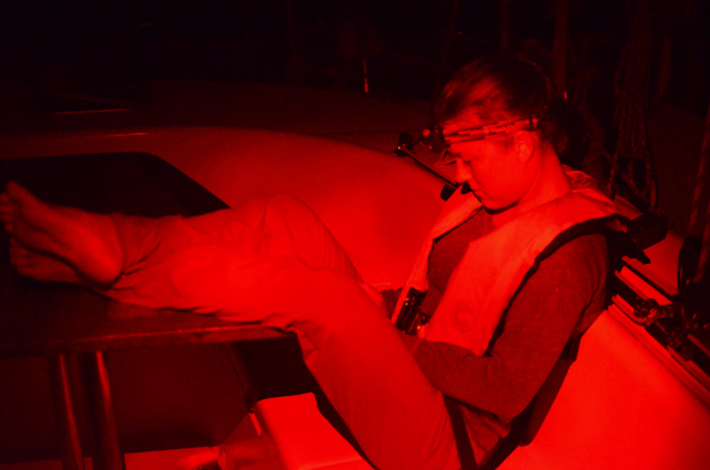
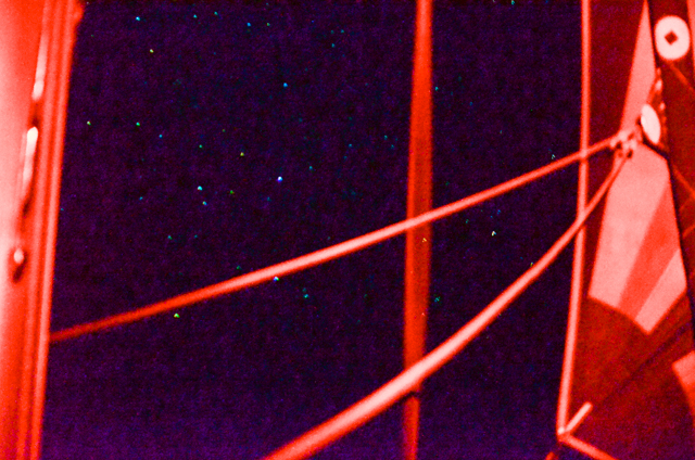
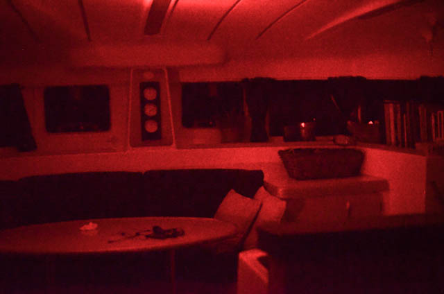
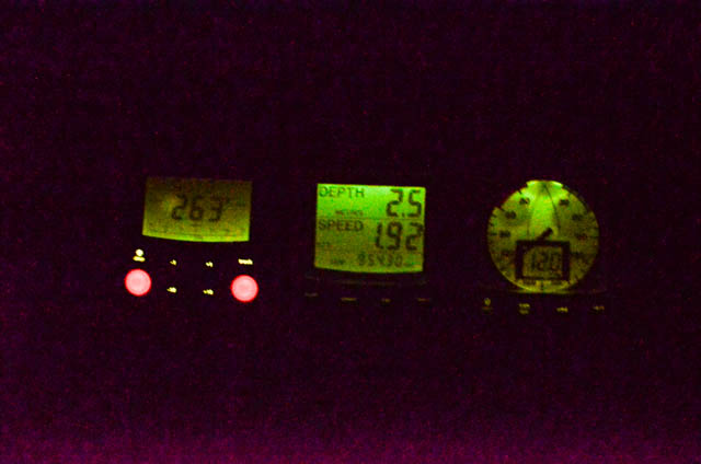
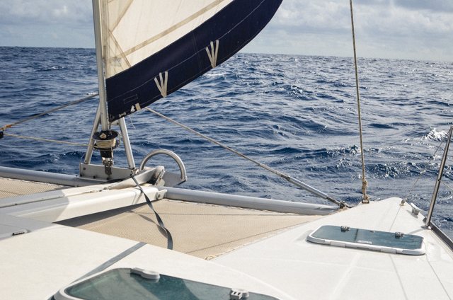
Tonight Miranda and I furled the mainsail and are running along under a reefed headsail only. She decided the best time to do so was in a pouring rain squall. She had time to put on her rain jacket before waking me up, halfway into her shift. Being woken up with howling wind and rain I generally react by screaming out of bed and on deck before I’m really awake. Or clothed. I was out there in my underwear and a life jacket, no headlight, reefing by feel in the downpour. Soaked my undies right through. I had to change ’em before going back to bed. So glamorous this sailing life. It did slow the boat down to 4.5 knots. We will spend the last hours of our VERY long journey doing the sailing equivalent of a drunken, loitering amble, designed to bob and shuffle us along in the waves until we make the harbor at sun up. Neat.

DSC05644

GOPR1915

Many of our Tangaroa fleet are heading to Nuka Hiva, some 30 miles farther west. They’re planning to spend a lot longer in the Marquesas than we are, so they’ll have time to sail back windward to explore the island chain. Losers. How are you supposed to properly celebrate with flotilla if they don’t go to the right island? Regardless, we’re getting excited to see the islands on our horizon.


Passage to Marquesas: Day 21

Author: Pete
Location: 07°54.559S

135°06.765W

Date: 11:00 April 19 to 11:00 April 20


Day 21. It’s been a full, unadulterated three weeks on the high seas.

We’re sailing west, but we haven’t been playing by the sunlight’s rules. To make our night watches easier, we’ve been keeping the Galapagos time, which is the same as Central time in the US. Our destination, the Marquesas, is 3 1/2 time zones away. So we’re very, very slowly giving ourselves jet lag. Er… boat lag, as it were. It’s most noticeable in the evening when we’re making dinner and the sun is setting at 9PM. That’s not unusual for sunset in Northern Michigan summer, but this far south the sun goes down more or less at 6:00 always. So we’ve been tucking to bed around 10:00, which is really 7:00 where we are. There are no lights, no other people, nothing to indicate that it’s not really late once the sun goes down. So we rack out.

DSC05630

Another indication of our westward progress is the changing propagation patterns for the radio stations we’re connecting with. We are 876 miles from Tuamotu Islands, 2400 miles from Hawaii, and 2700 miles from San Diego, which is receding. Under 300 miles now. Striking distance. We’re salivating over the sound of a long walk and fresh island fruit.

P1140173

There have been exceptional sunsets in the last days. The pinks and oranges of the horizon mix with the pinks and purples of the spinnaker. They blend together sometimes in the last light of the day until you can’t really tell the boundaries of the boat, the sea, and the sky.

DSC_3252

DSC_3491

DSC_3501

DSC_3499


It’s generally quiet on the boat, aside from the waves slapping on the hull, some rattle of the sails, and the chugging of the wind gen. It seems especially quiet at night when on watch alone at night. Everyone is tucked away in their berths. Your eyes adjust to the dark. It’s been many days since the moon hasn’t been up on my watch. Working under red headlight, bathing everything false color. I love it.

DSC_3312

DSC_3450

DSC_3539

DSC_3555

Passage to Marquesas: Day 20

Author: Pete
Location: 09°20.505S 132° 03.359W
Date: 11:00 April 18 to 11:00 April 19


Day 20 at sea.

At this very moment we are 400 miles from Hiva Oa. The wind stayed low today, but constant today, going our way. Put up the spinnaker and ran downwind like a leaf on a pond. A really heavy leaf on a really, really big pond. Without much else to do on watch tonight, I crunched the numbers. If the boat was a leaf the size of your hand, a pond the size of our Galapagos-Marquesas passage would be 54 miles long. Go math!

GOPR2037


Made a pretty good split pea and ham soup today for dinner. It has been easy to cook with the recent light seas. Or maybe we’re just getting used to the motion. I suppose after 20 days, you’d hope we’d get used to it. I’m afraid that after this trip we will all find ourselves propped next to solid objects when we stand still anywhere, as we are obliged to do on the boat. Try it. Sit, kneel, or lean any time you stop moving, and grab onto things for support as you walk around your house. It’s the behavior of a drunk man. We really perambulate like Johnny Depp in Pirates of the Caribbean.

Depth sounder reads last recorded depth once it can’t see the bottom anymore. It shows you that it can’t see the bottom anymore by blinking. So usually, the depth meter gives a blinking readout somewhere between 90 and 120 meters (~300 ft), where the sonar effectively lost the bottom. This transducer is not a fish finder. It’s only meant to read the bottom. We’ve sailed over schools of fish, dolphins, and frothy, wave whipped water, with no discernible change in the depth readout. Once in a while something spooky happens. The depth sounder will jump from 90 meters, to 3 meters, as if something was swimming under the boat. Something big. And it’s only there for a second, passing, and then is gone. But the depth sounder records the last position it saw the bottom, or something so big it appeared to be the bottom. Something 3 meters… some 10 feet under the boat. It’s blinking like that right now… Eventually we switch it off to reset it, but it’s a creepy feeling to see that happen.

DSC_3525

Making contact through the Manihi station in the Tuamotu islands, French Polynesia. Bodes well for our progress. Clear night. Fabulous stars. Light wind and seas. All quiet and good aboard.

DSC_3558