Location:Kawau and Tiritiri Matangi Islands, New Zealand
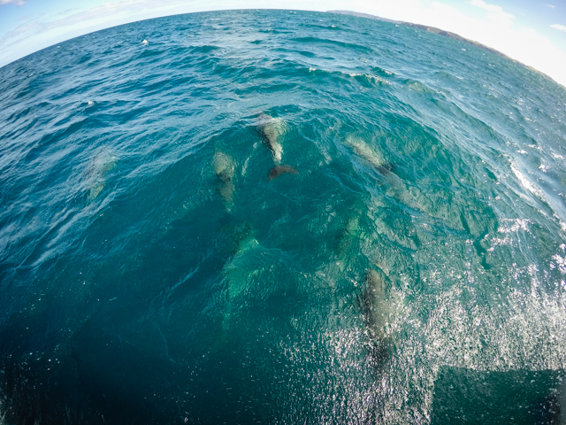
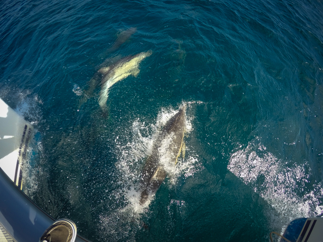
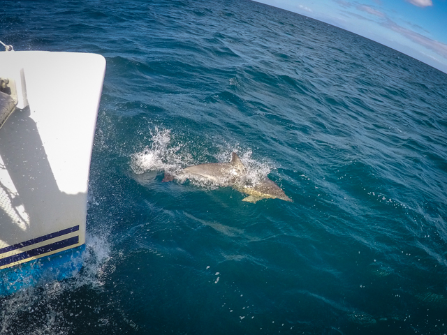
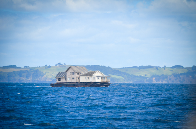
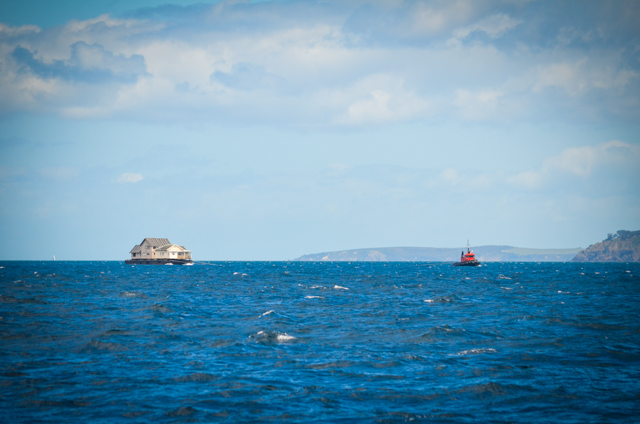
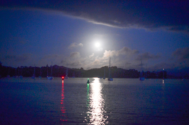
After topping up water tanks and giving the boat one last wash, we threw off the dock lines and motored quietly out of Marsden Point Marina.Tayrona was happy to be out sailing again after a week in the captivity of a dock.Her exuberance was felt somehow by the ocean gods who sent fair winds and a dolphin pod to ride our bow wake south to Kawau Island.Along the way I picked up an island on radar that wasn’t supposed to be there according to the charts.It was the wrong signature to be a boat.Something wasn’t right, and we approached wearily.Turns out it was a house!
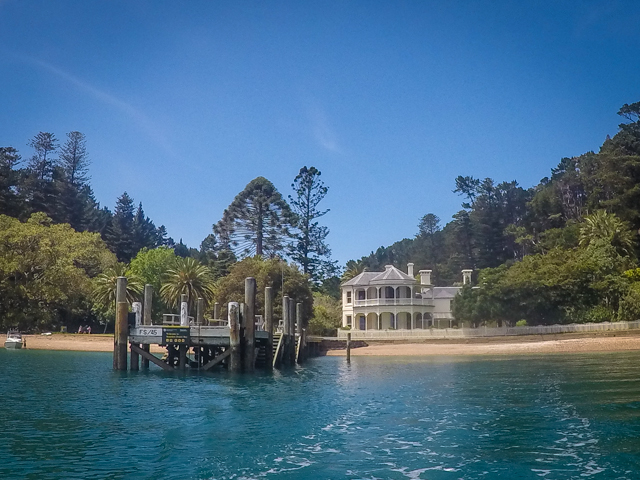
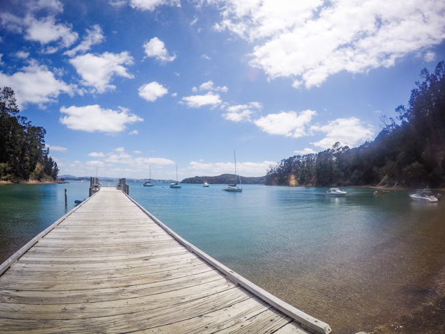
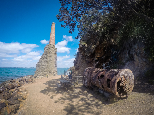
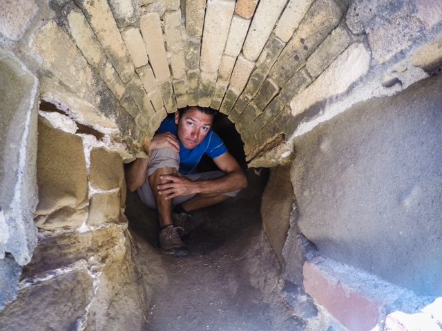
The island of Kawau is a twenty mile sail from Whangarei, home to a historic manor and the ruins of an 1840’s copper mine.Things are pretty low-key when it comes to exploring on your own and we nosed around the fancy mansion ground and industrial ruins with touristic impunity.
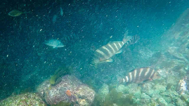
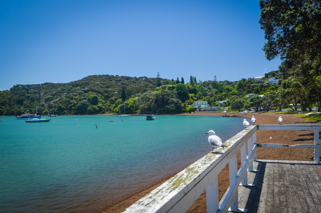
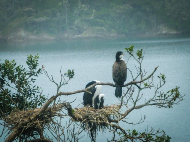
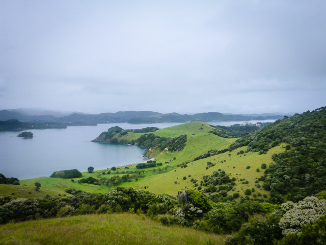
Another twenty miles south the island of Tiritiri Matangi is a bird sanctuary. The squawks and growls that emanated from the vegetation were something out of Jurassic Park. The sea life was pretty good too, with green-lipped mussels, burly Red Moki, and Bull Kelp dancing in the swell.
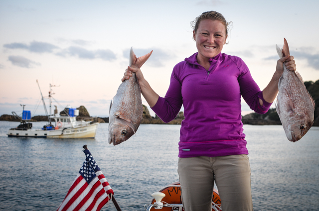
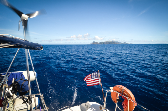
In the evening a small commercial fishing boat anchored next to us in the empty little cove.The two Kiwis aboard shouted for us to come over, and when we dinghied up they gave us two big snapper, saying they saw the US flag on the back of our boat and thought we might be hungry after sailing all that way.We offered to trade them some cold beer for the fish, but they insisted they couldn’t drink on the job so we brought them home made muffins early the next morning before they pulled anchor and went back out to sea.
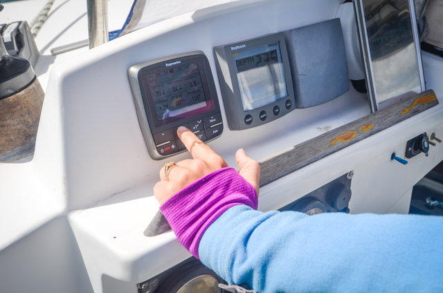
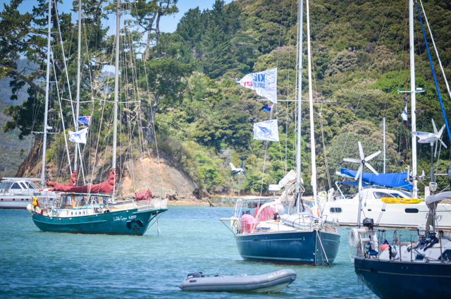
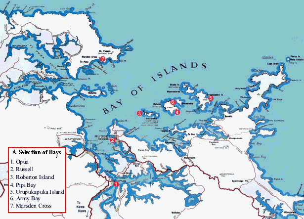
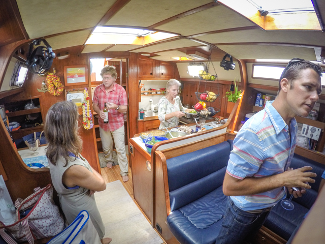
You’d think things would’ve quieted down after the rally when all the rowdy sailers dispersed, but Opua was just starting up.We got a few things done on the boat that needed work, hoisted our newly refurbished jib, and started planning our time in New Zealand.So many bays and islands in the Bay of Islands (imagine that!); it’s almost impossible to see everything without staying a season up here.
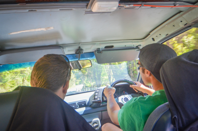
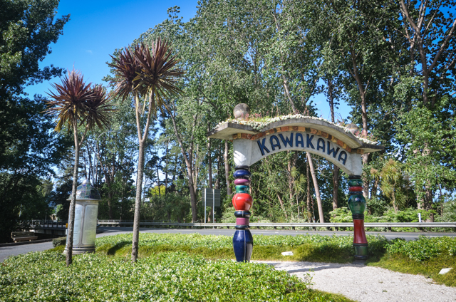
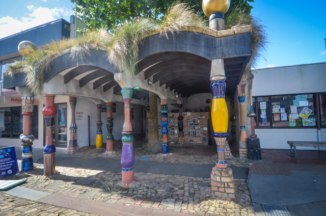
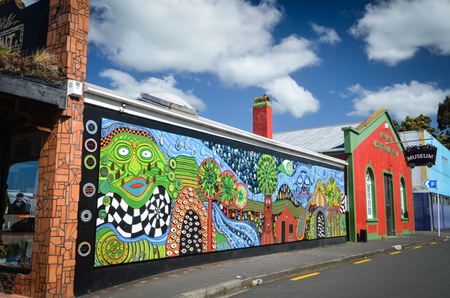
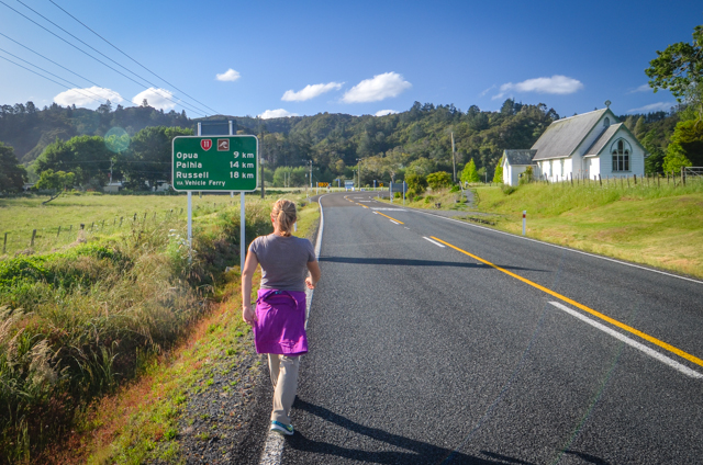
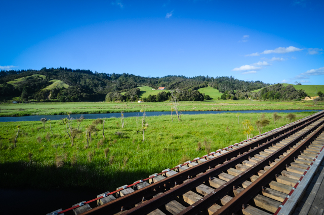
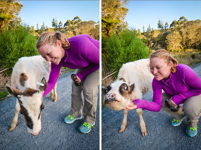
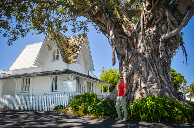
We hitched a ride to Kawakawa, a tiny town down the road from Opua.Apparently it was an old stomping ground of Austrian artist Friedensreich Hundertwasser, who lived in the tiny town for twenty-five years until his death in 2000.He must have had some bladder issues, as his lasting legacy to the community were some fabulous public toilets in his signature style.He even asked that the vegetation dug up for the construction be planted on the roof.Brilliantly eccentric mind indeed.After ‘visiting’ the landmark we nosed around Kawakawa and found almost nothing else there of interest.Makes me wonder what Hunderwasser saw in the village.Maybe just a blank canvas to work on.We were markedly less successful catching a ride back and ended up hot-footing the twelve kilometers back to Opua.It ended up being a lovely evening walk on a railroad grade turned bike path, which toddled over streams and through green pastured hills.Even made some friends with the locals.
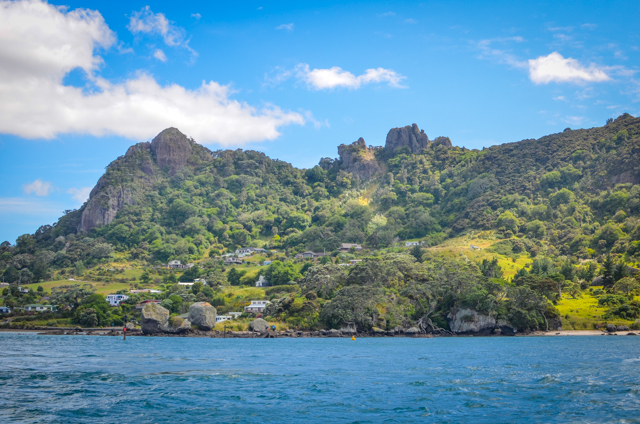
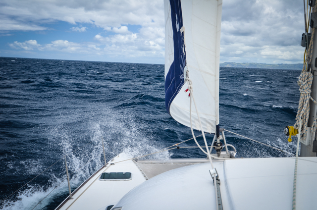
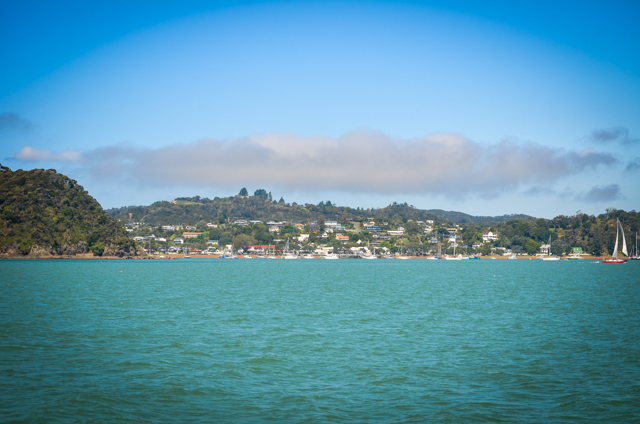
When all the necessary projects were done and we felt confident that neglecting the unnecessary ones wouldn’t endanger the boat, we pulled anchor and got out of dodge.Though we consulted weather predictions before we left, the three nautical-mile passage downriver to the next little town of Russel happily left little time to find ourselves besot by raging storms.
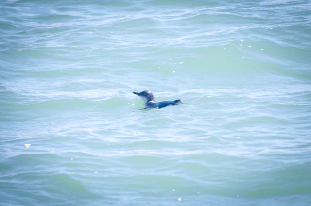
Russel, formerly Kororareka, has come full circle.The town’s original name in Maori means ‘Sweet Blue Penguin’, but received the handle “Hell Hole of the Pacific” in the 1800’s due to the debaucherous whalers who took leave and excessive liberties there while ashore.It’s ‘Russel’now, and despite a touch of an identity crisis, it’s pretty much quaint and touristy, drawing crowds like zoo-going ice cream slurpers around the Sweet Blue Penguin exhibit.We even saw some penguins on the way which should’ve cued me in on the water temperature.But more about that later.
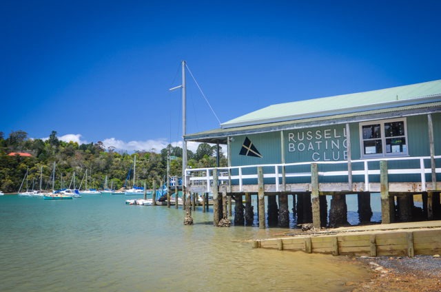
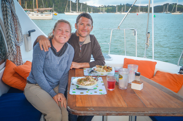
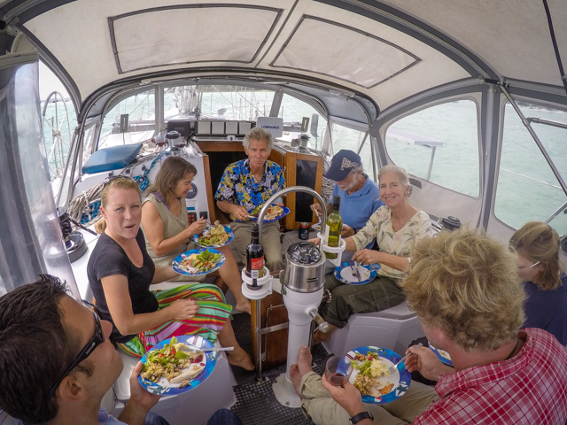
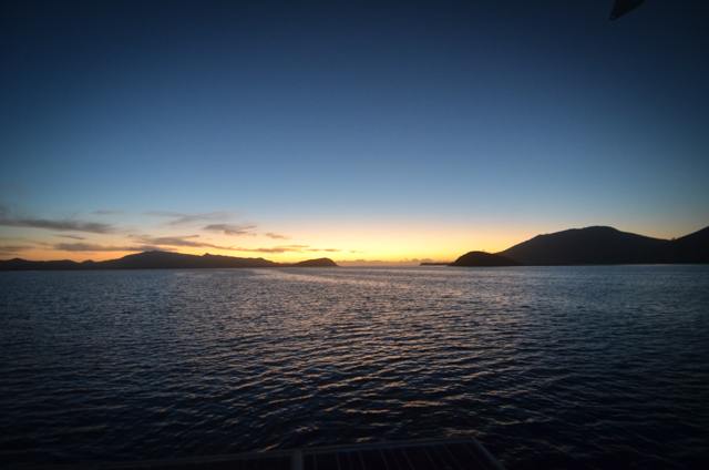
Thanksgiving stretched out for a few days like a fat and happy cat in front of a fire.Miranda and I made a small, pseudo-Thanksgiving dinner on Thursday and had a beautiful evening to ourselves on the boat watching the sunset. On Friday it was Thanksgiving back home, so we spend the day calling friends and family.Saturday we had plans with friends on a couple other boats to have a proper Thanksgiving dinner, so we descended with the crew from Georgia and Pau Hana on the unsuspecting Second Wind and feasted.Staggered around Russel for a scenic tour to walk off our distended bellies.Ended up laying in the grass.
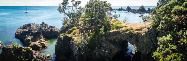
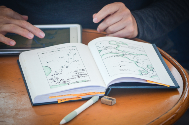
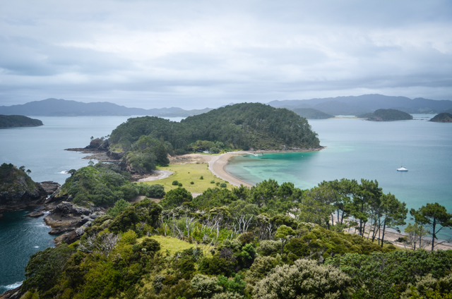
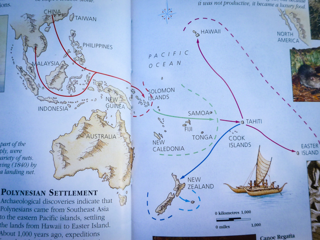
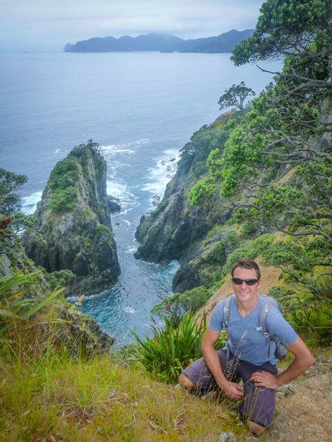
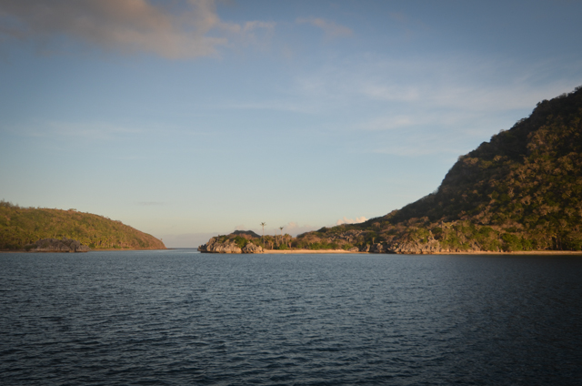
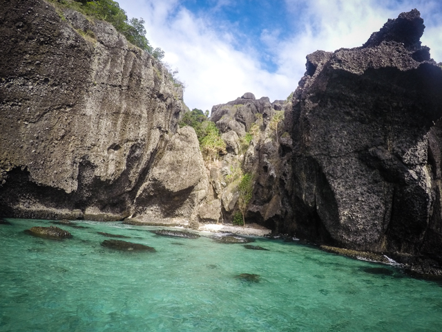
Motorsailed another three miles to Robertson Island, also called Motuarohia.I always wondered how anthropologists knew where and when early peoples moved around.Apparently New Zealand was populated not from Australia or even Fiji, but from Tahiti!The connection can be seen in the native languages which are pretty similar.The names of all the islands here start with ‘motu’, which means island in Maori and also in Tahitian!Same with va’a and waka which is canoe in Tahitian and Maori, respectively; the k and the glottal stop make the pronunciations very similar and both starting sound taking on more of an f-sound.Tracing these language similarities is one of the means for mapping the flow of human migration.Pretty neat.We hiked around Motuarohia, up to a pa site, a primitive fortification to ward of sieging neighbors.Not much was left of the site, but the view was excellent.
Red shows migration 30,000 years ago; green 3,000; maroon 2,000; and dark blue 1,000 years ago.
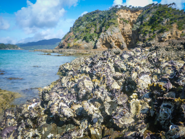
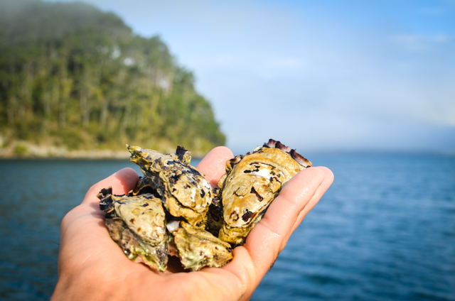
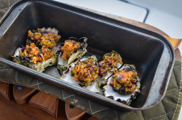
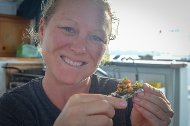
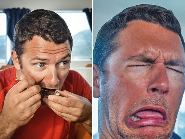
Speaking of primitive, rock oysters are everywhere down here.They cling to almost all rocky seashore you’ll find.Following as the locals do, we pried a few off and brought them home for dinner!I was just hamming it up with the faces; they were slurp-risingly good!Enough butter, lemon, and parmesan make even the most repugnant bivalve delectable!
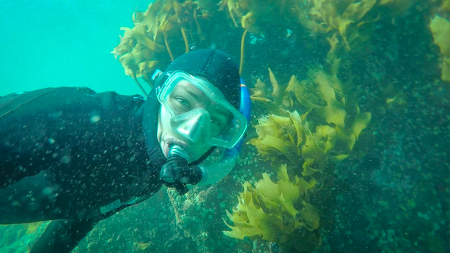
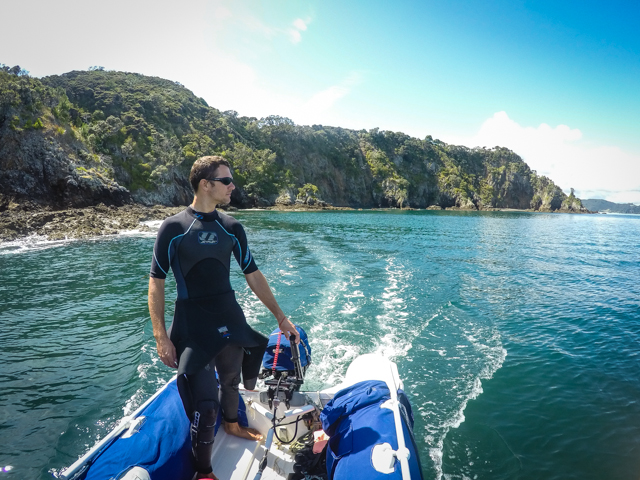
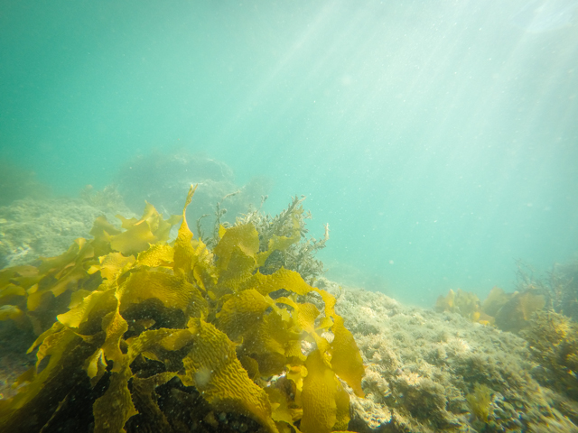
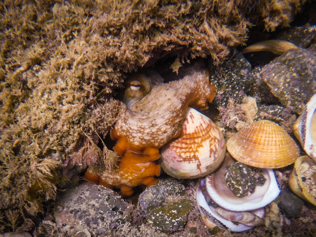
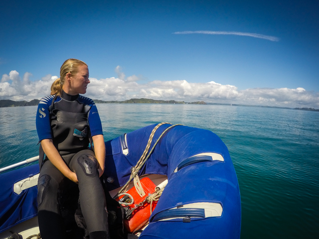
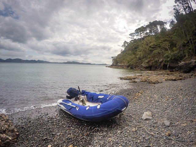
I broke out the heavy suits, hoods, gloves and went to check out the underwater flora and fauna.Lots of kelp, shellfish, and rocks.Reaching down to pick up a cockle shell out of pile, I was startled to see a large monochromatic iris dilate to look at me.The octopus poofed out his skin to make it look spiky and changed from brown to orange.It did the job, and I backed off.In an hour of snorkeling I had seen five of them.I love calamari and liked octopus when I’ve had it before, but I can’t bring myself to catch (read: impale on a harpoon) any of them.I’ve read accounts of them sneaking out of their tanks in captivity to eat fish in other tanks at night, then pop back into their tank and look innocently out in the morning.There’s also account of them ripping the stinging tentacles off jellyfish and using them to hunt their own prey. Don’t just take my word for it, check out Inky’s story. That kind of smarts deserves a pass.Plus they’re scary looking.
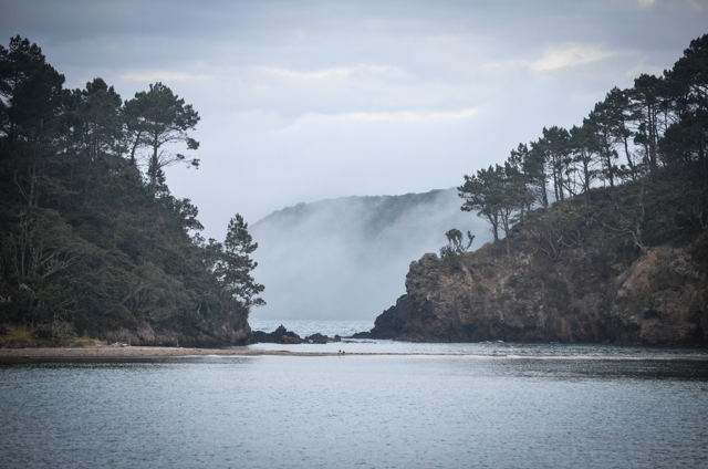
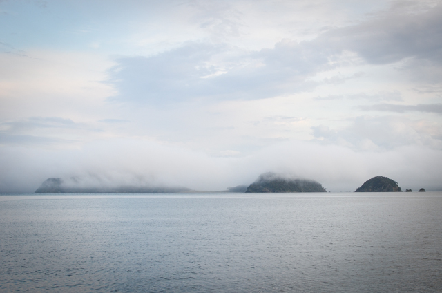
The cold water and warming summer air make for some great fog banks in the mornings.As we sailed three more miles over to Urupukapuka we ran the radar looking for other boats in the mist.Fabulous hiking and a great name?What’s not to like about Urupukapuka?
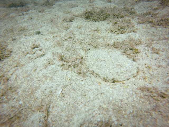
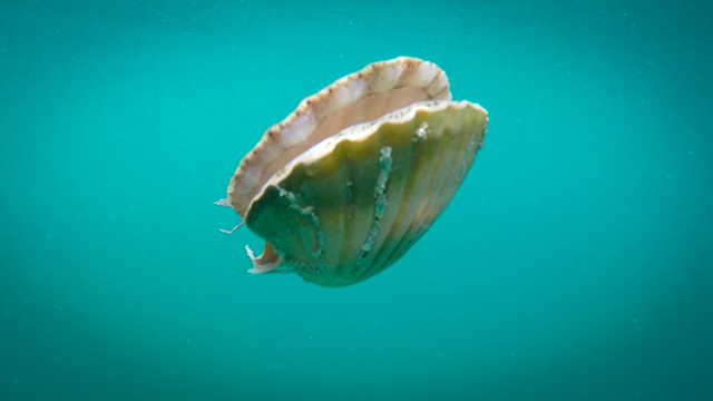
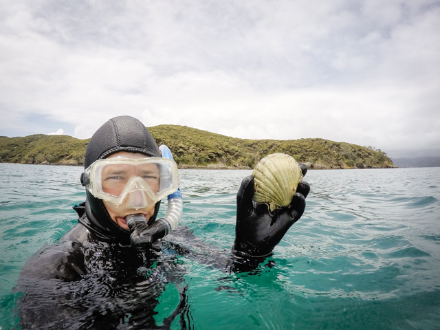
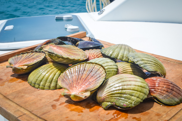
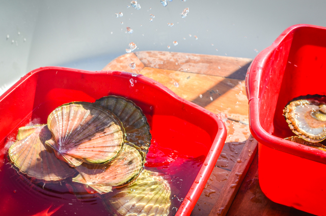
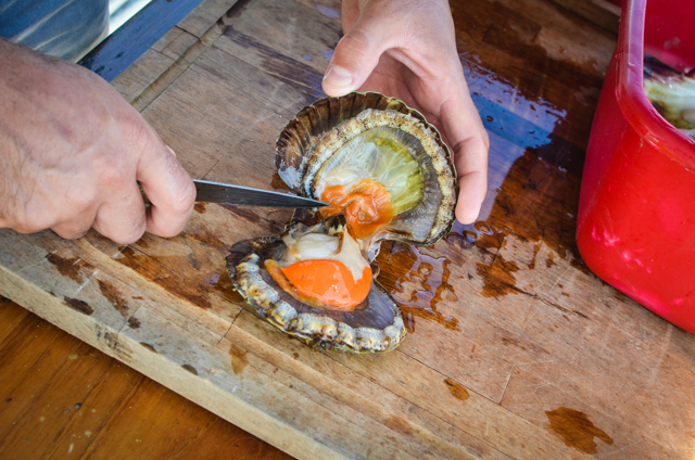
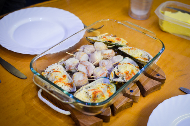
Another thing to love is the scallop beds!In an hour of free diving I gathered a dozen scallops and five green-lipped mussels.They lie in shallow depressions on the bottom with a light covering of silt for camouflage.It’s not too hard to see and pick them up, but they are wilily and open and close rapidly to jump out of your hand and then can actually swim away from you with jets of water!Cleaning them isn’t difficult, though it’s off-putting to have the ones awaiting shucking start clapping and spitting water out of the bucket.“Let me out!”Alas, ’twas not to be.There was ‘streaky bacon’ in the fridge, waiting to be wrapped around the scallops like an octopus tentacle around an unsuspecting wader’s ankle.Into the oven with ye!
We’re out of the Bay of Islands to run down the coast towards Whangarei as soon as we stop feeling like beached whales and can stand again!
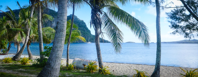
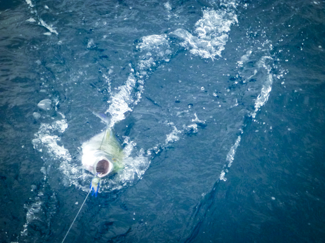
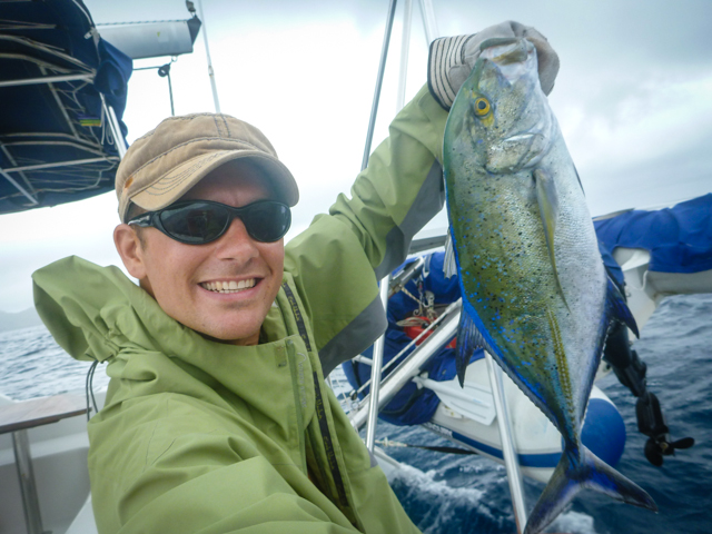
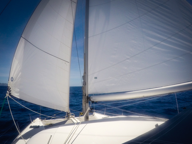
Despite the overcast we were happy sailing north from the Blue Lagoon.We had been there for about a week, waiting for an ugly spat of weather to clear so having the sails out an moving felt great.Even caught a Bluefin Trevally on the way!
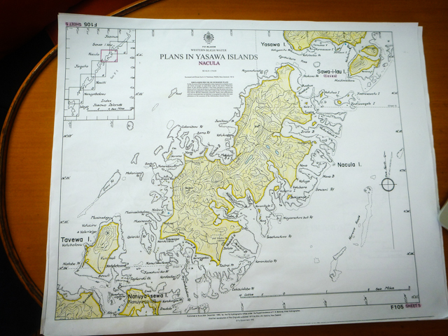
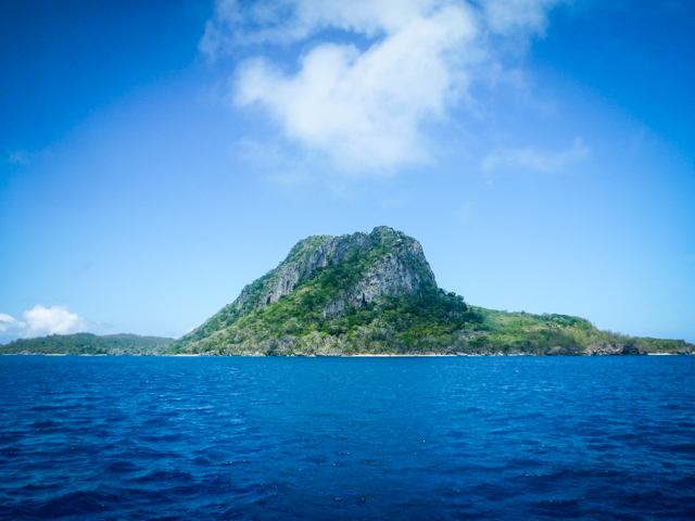
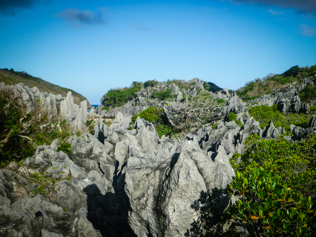
Sawa-I-Lau is a high, limestone island in a cove just south of Yasawa Island, the northernmost of the island chain.We pulled in, made friends with the locals in the village, and set about finding the treasure hidden on the island…
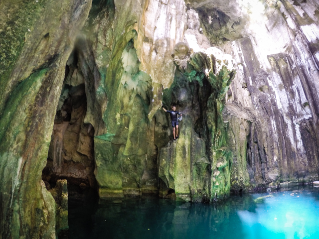
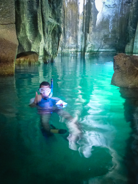
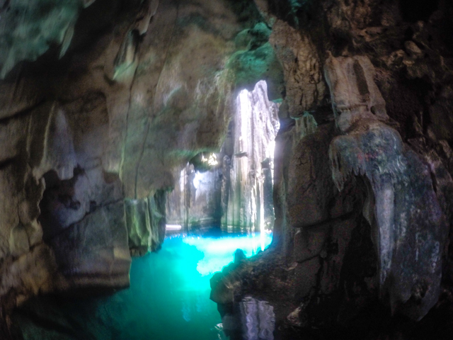
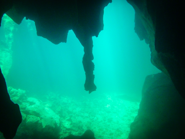
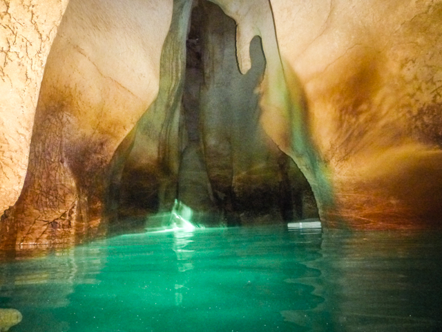
The island is renowned for its caves. A set of cracking cement stairs have been built into the rock up from the beach to the cavern entrance.The first cavernous room has an open cathedral ceiling with the sun pouring in, lighting up the clear water.A few fat eels basked in the glow and made us a touch hesitant to jump right in.At the far end of the grotto, a few feet below the water gaped an huge swim-through to another cave. Armed with goggles and fins, along with a memorized map of the cave system courtesy of our friends on another boat, Family Circus, we ducked under the water and swam into the black.Since there was much natural light in the first cavern our underwater torches did little initially to punch through the black, but our eyes adjusted rapidly and the inverted image of the next room could be seen in the reflection of the placid water.
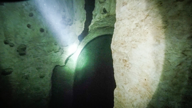
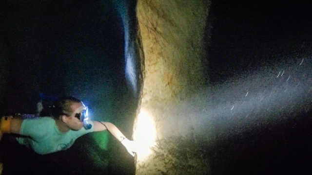
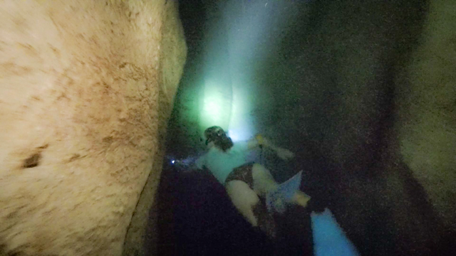
It was a short, easy swim-through and then we explored the next cavern in the green glow from the light oozing in through the underwater passage.The cave is oddly shaped, but there’s no place to get lost.The sheer walls are brown limestone that blazes brightly under a torch, even below water.The bottom is black rock, so even though it’s only ten feet down in places, the light beam appears to be swallowed by the abyss.In some places you could swim down and see the bottom.A dive in other spots revealed no bottom at all.The last room could only be accessed by a fairly long, underwater swim.The passage through was hidden in the corner of the second chamber about six feet below the water surface.It was mostly straight, about eight feet wide, then came toa quick turn at the end.No dead ends, no spurs off to get lost in, and smooth rock walls.After the initial paralyzing fear of swimming into a black tunnel underwater, the passage was really beautiful, like flying at the top of a cathedral, albeit with eels popping up here and there.It’s okay, they’re friendly, but it reaffirms Miranda’s hold as most courageous person I know.The third cavern is completely cut off from outside light.The place echoed like thunder when we popped up and cleared our snorkels.It was even difficult to talk because of the reverberation.The place was fantastical, with drippy salt stalactites and strangely organic architecture.We braved the pathways into darkness again the next day just to be back in the middle of an aquatic Dr. Seuss illustration.
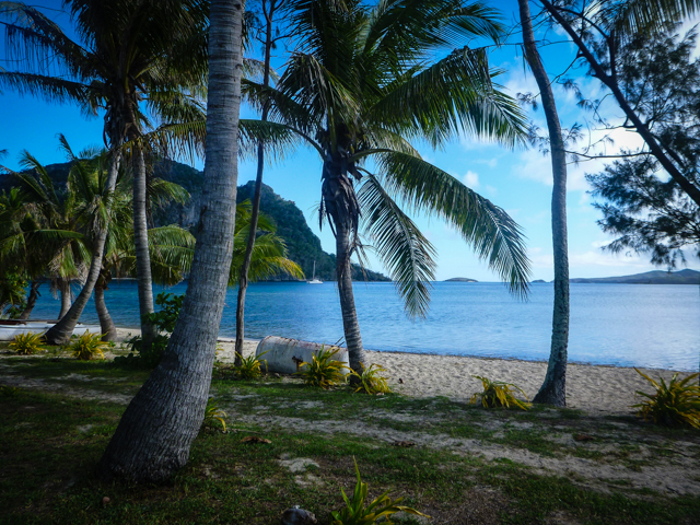
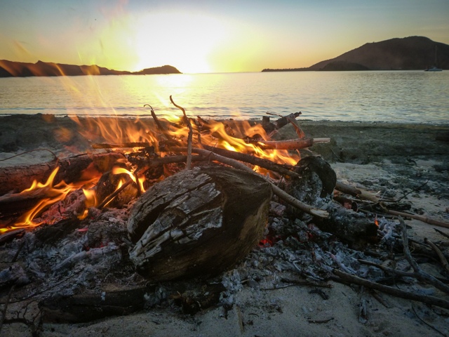
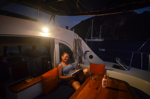
Stars filled the clear skies for a few calm nights, one of which we made a bonfire on the beach.Nice to have a little connection to the terrestrial, to come back to the boat smoky and sandy.It’s amazing how many consecutive days we go without touching land even though we’re island hopping.
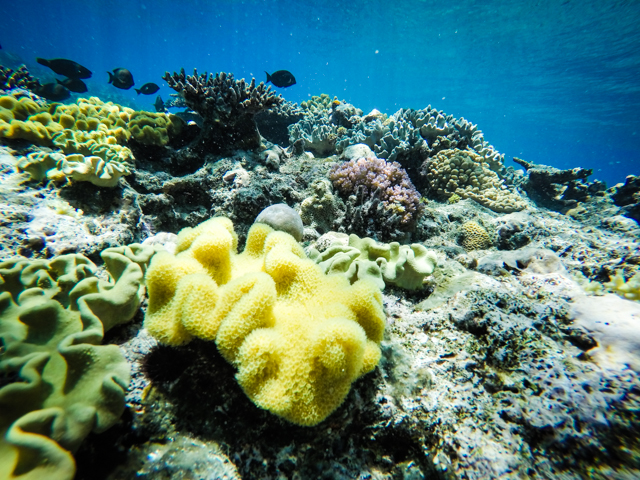
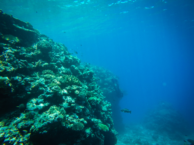
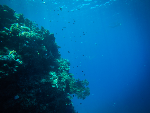
Tucked in a coral minefield between the Yasawas and Viti Levu is Vomo Island.As we sailed east, the island’s protective reef could be seen shining bright yellow in the sun.We weaseled our way in and dropped anchor in twenty feet of glittering sand.We didn’t know anything about the place before we showed up and some exploring revealed incredible underwater topography.
The coral reefs were chest deep at the top and sixty feet deep one step away.The vertical wall drew big and small fish alike and soft corals waved.The water in the south here seems clearer than north in the Yasawas.It made our deep free dives even more spectacular.There’s a diver in the last two shots here.Can you find them?
Then it was back to Viti Levu to prep, provision, and wait for a weather window to sail south to New Zealand! Back to the high seas!