Author: Pete
Location: Coromandel and Great Barrier Island, New Zealand
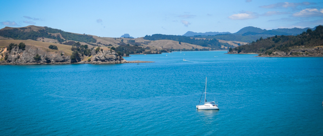
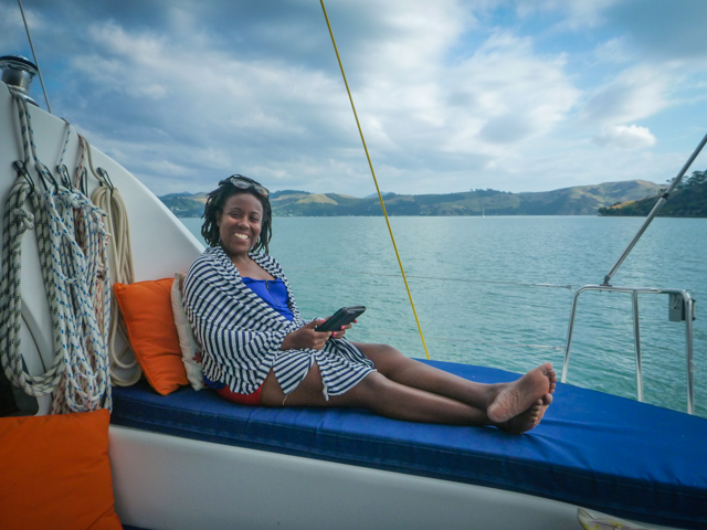
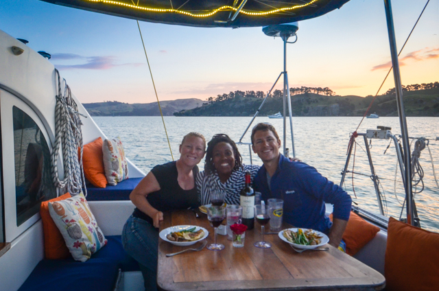
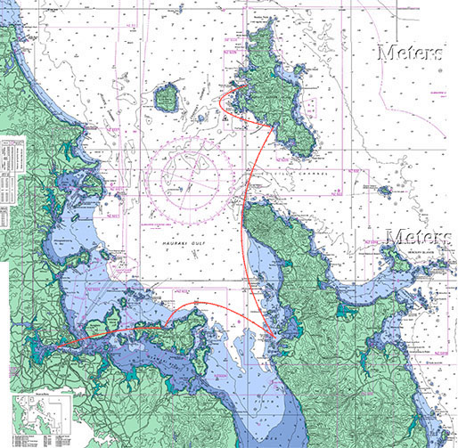
Coromandel is the rugged peninsula that forms the eastern side of the Hauraki Gulf near Auckland. We motor-sailed in scant wind heading east in calm seas and tucked in behind Whanganui Island just off Coromandel Town where Jessica would be leaving us the following day. We soaked up the rest of the afternoon on the boat and had a lovely farewell dinner watching the sunset.
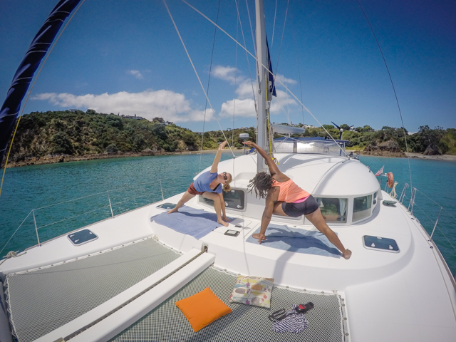
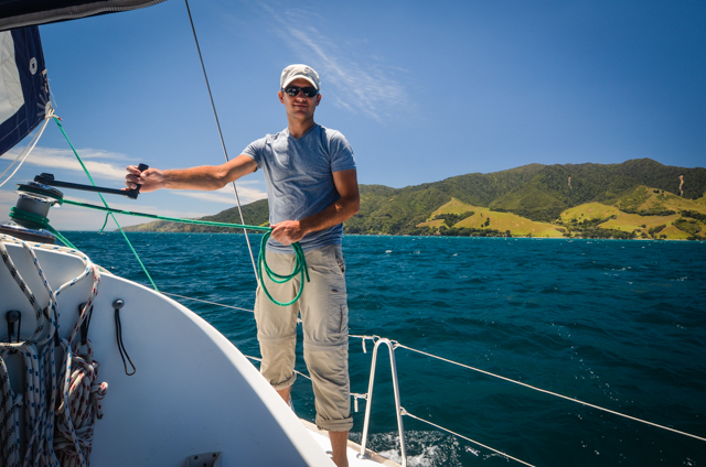
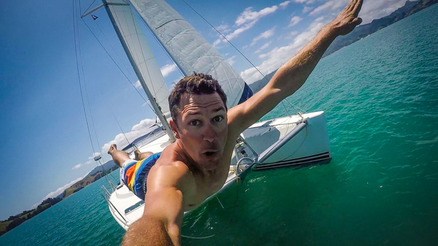
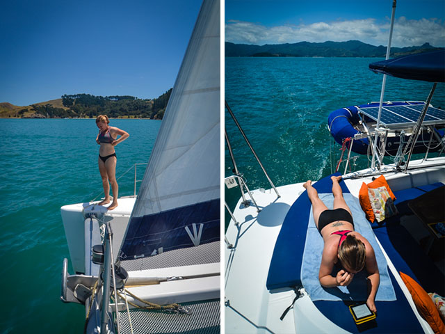
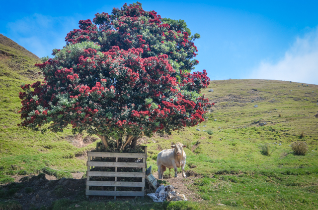
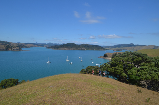
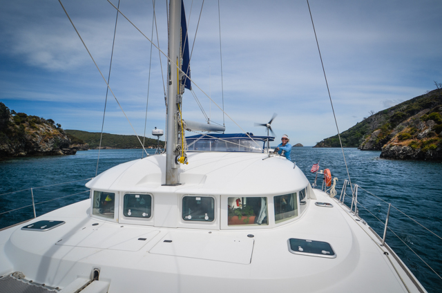
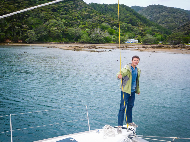
After dropping off our precious cargo and poking around town, we pulled anchor and sailed out of Coromandel Harbor in light breeze and raking summer sun. Swimming off the bow was an obvious choice on a slow sail, floating between the hulls, climbing up the transom and then hucking off the front again in a mismatched game of leapfrog with Tayrona. We did have the good sense to leave one person on the boat at all times. Once anchored off Rangipukea, we went ashore to stretch our legs, keeping a watchful eye on the ‘fully functional’ bulls that guarded the beach.
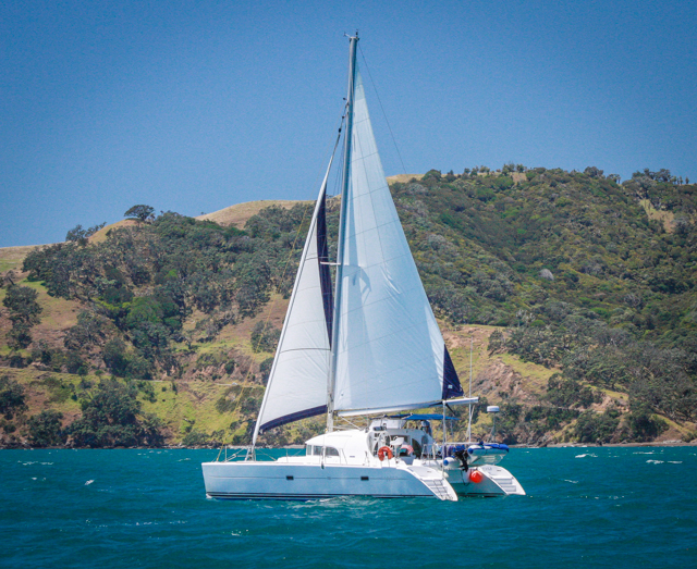
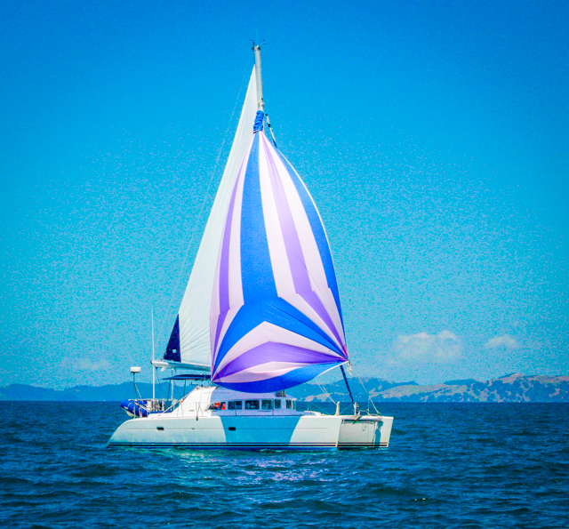
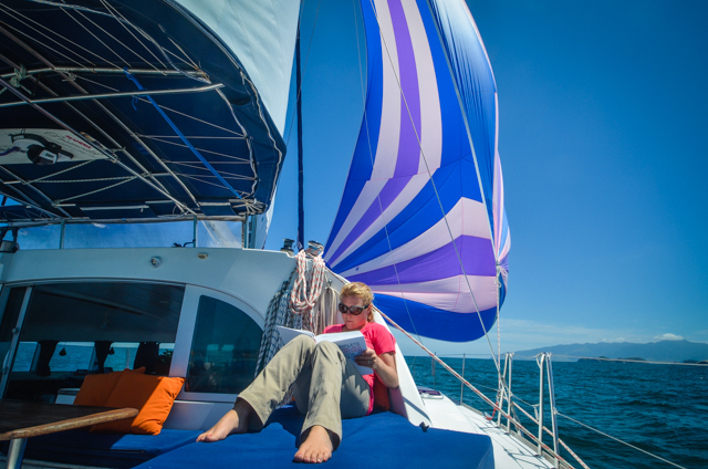
The next day brought winds from the south, solidifying our tentative plans to go north. We put up the spinnaker and scooted happily along the Coromandel then across the Colville Channel to Great Barrier Island.
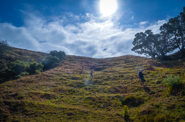
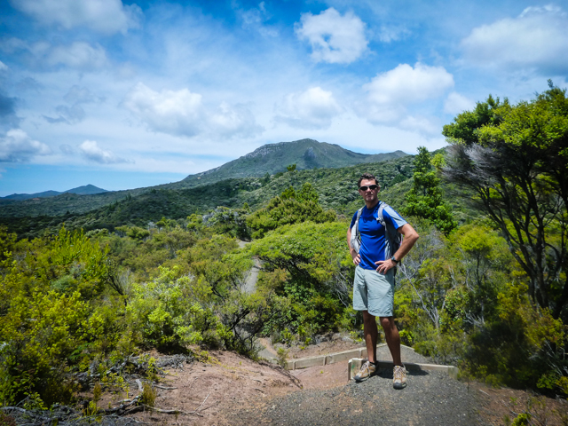
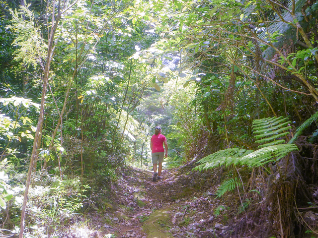
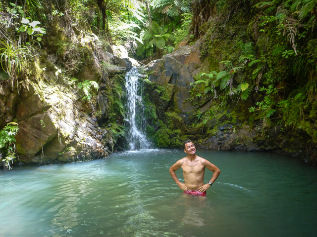
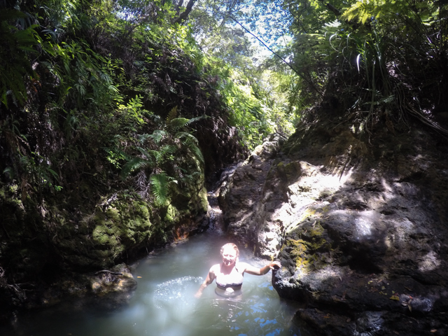
Great Barrier Island has only a few roads and no electrical grid or internet connectivity. Despite the island’s isolated feel, she sure didn’t seem lonely as we settled into Whangaparapara Bay. Kiwis, the mammalian variety, had flocked from all over to spend New Years on the island. We tracked down the Kaitoke hot springs, hidden in the interior of the island, about two hours hiking from Whangaparapara. The headwaters of Kaitoke stream are fed by volcanically-heated upwellings so the whole stream is steaming hot. The Maoris used to bath in the river as a ceremonial cleansing to return to normal life after warfare. The stacked stones that created pools in the river were quite possibly as old as human habitation on the island. Even in the crowded ‘silly season’ around Christmas, Miranda and I had the pools to ourselves!
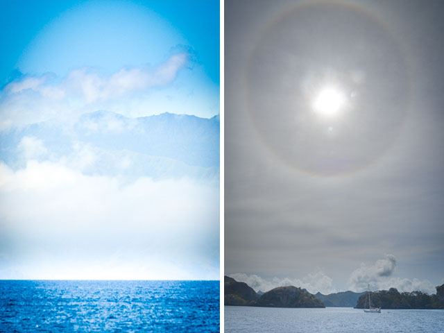
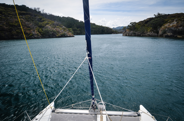
We heard that there was a New Year’s to-do in Port Fitzroy, the next anchorage north so off we sailed in and out of the rocky islets along the coast. The day dawned clear with piled, poofy clouds on the horizon. Soon, high altitude cirrostratus clouds moved in; they’re almost invisible when looking aloft but show up as distinct halos around sun. I remembered that the halos are almost always harbingers of imminent inclement weather and my novice meteorological skills didn’t disappoint. The forecast for the next three days predicted thirty-knot winds with gusts to fifty. We pulled in close to shore just beyond a silty drop-off and laid double anchors out in chest deep water to make sure we weren’t going anywhere. Then the weathermen made good on their predictions and the winds howled in. It was more than a little unnerving to see the anchor chain pull almost horizontally out of the water when the gusts hit and we were sitting on a low tide.
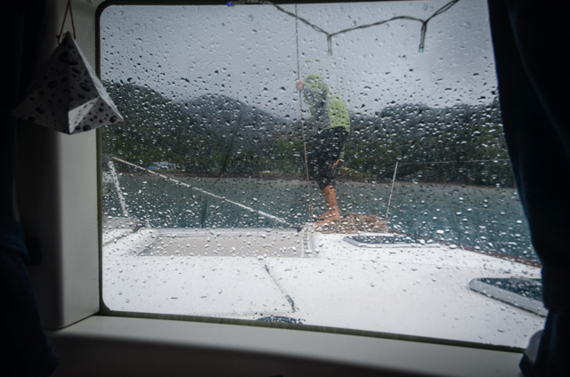
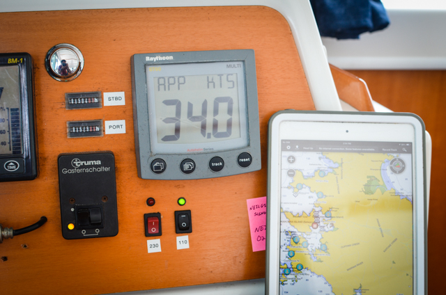
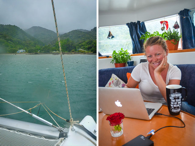
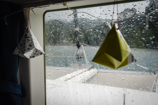
Dionysus must’ve had a word with Zeus about the night’s proceedings because the celestial levee held for a few hours into the new year before the deluge came down in buckets. We were back on the boat by then holding on with Tayrona through the gale. Welcome to 2016!
